The Landscape Plan is the process through which we are developing a shared vision for the regeneration of our region over the next twenty years.
The future of our mountains, countryside and villages depends on a number of closely interlinked issues: the protection of water and soil, the continuation of farming and livestock rearing, the conservation of biodiversity, and opportunities to live and work here. The plan aims to tackle these challenges collectively, by linking initiatives and agreeing on priorities amongst those who live, work and look after the area.
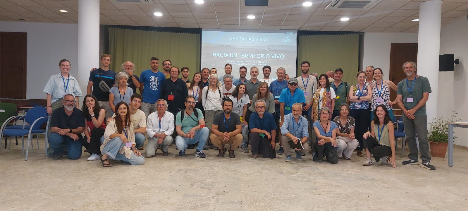
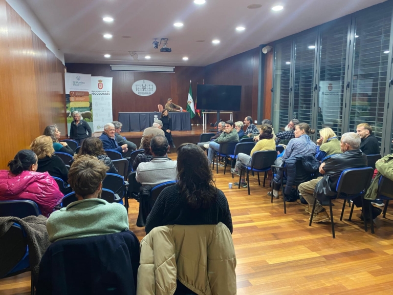
The «Hacia un Territorio Vivo» workshops are the forums that fuel this process. They bring together producers, associations, public authorities, knowledge centres, businesses and members of the public to share experiences, review the assessment and turn proposals into concrete actions.
A twenty-year outlook
Landscape regeneration takes time and requires continuity. That is why we are working with a twenty-year perspective, which enables us to guide current decisions towards a shared future.
This vision is set out in a roadmap setting out short-, medium- and long-term actions, identifying who can drive them forward, what resources are required and how to assess progress.
The Four Returns
The plan is based on Commonland’s ‘Four Returns’ framework, which proposes a collective effort to restore:
- A return to inspiration: hope, a sense of belonging and confidence in our ability to improve the local area.
- Social return: cooperative relationships, knowledge, well-being and opportunities for communities.
- Natural return: biodiversity, healthy soils, water and the resilience of ecosystems.
- Financial return: viable economic activities, employment and income that will underpin long-term regeneration.
Three interconnected areas
To understand the landscape and guide our actions, we work with three types of interrelated areas:
This analysis helps to identify what each space requires and how the activities carried out there can contribute to the landscape as a whole.
- Nature reserve: areas where the priority is to conserve and restore ecosystems, habitats and their connectivity.
- Combined zone: areas that combine production and regeneration, such as dehesas, wooded pastures and other agro-pastoral and forestry systems.
- Economic zone: towns, infrastructure and industrial areas where activities, services and opportunities to generate local value and employment are concentrated.
What we do
Objectives of the process
- To develop a shared vision for the future amongst people and organisations in the region.
- To agree on priorities that link ecological regeneration with the economy and rural life.
- To strengthen collaboration between initiatives that are already up and running.
- Define projects and initiatives, specifying responsibilities and resources.
- Establish ways of coordinating that ensure the continuity of our collective work.
What activities are taking place?
- Participatory meetings entitled «Hacia un Territorio Vivo» to listen to views, compare proposals and agree on priorities.
- Preparation of an assessment that brings together technical knowledge, mapping and local expertise.
- Identification of opportunities for action in the three landscape zones.
- Definition of areas of focus and pilot initiatives relating to water, soil, biodiversity, agriculture and livestock farming, and the local economy.
- Establishment of a regional partnership and of coordination and monitoring mechanisms.
- Analysis of needs and funding strategies to enable the initiatives to be carried out.
Where and when
The area encompasses the Grazalema and Ronda mountain ranges and their surrounding countryside, between Cádiz, Málaga and Seville: the region we have named the Western Baetic Mountains. It links natural areas, estates, countryside and villages that share common challenges and opportunities.
Status: underway.
Organisations and funding
Serranías Vivas drives and facilitates this process alongside the participating individuals and organisations, with support from Commonland and the Regenerative Territories Network.

Would you like to take part or find out more?
Write to us at info@serraniasvivas.org and we’ll tell you how to get involved in the project.
